Trails at El Palmar Park
A land with soft undulations, crossed by creeks and dwelled by a great amount of birds is ideal to enjoy one day with the family. It is essential that visitors should take care of this environment.
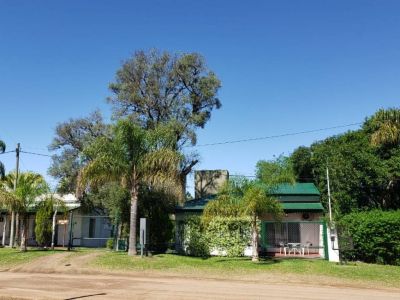
The palm trees have been here forever, at this natural space in the center of the Province of Entre Rios. Once El Palmar National Park was created, these native plants were enclosed inside a protected area with the aim of sheltering one of the last Yatay palm tree groves in the world. To access the park, we traveled along National Route 14 and then covered 12 kilometers along an inner gravel road towards the Visitors’ Center. We chose to stop there for a few minutes in order to collect all the necessary information about the inner trails and understand the sense of the park and the value of what we were about to see. Map in hand, we started wandering around the various attractions without any haste. We took advantage of every single spot. We missed nothing. There are car and pedestrian circuits, as well as parking spaces. Everything is sign-posted and it is almost impossible to get lost.
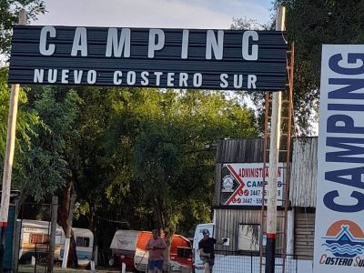
Starting at the main path, we took the four vehicular trails that cover different areas of the park one at a time. The first one led us through a thick palm tree grove until we ended up facing two pedestrian trails that reach spectacular panoramic sights. One of them is known as La Glorieta (the Gazebo) and the other one gets to El Palmar Creek. They include an interpretative pedestrian path through the rainforest bordering the river, amidst pastures, a palm tree grove and a small cascade at the end. Once at La Glorieta viewpoint, we caught a beautiful glimpse of the creek course. In both cases, we stopped for a while to take pictures and a cool drink, as the weather was quite hot. Then we spotted another path called Yatay. The next path for vehicles led us through woodlands, a gallery forest and a small palm tree grove to the creek called Los Loros (the Parrots). After covering 2,000 meters and surpassing a short climb, we ended up at a viewpoint featuring a comprehensive sight. According to the map, we had reached the northern border of the park and could appreciate the significant changes experienced by natural environments. Next to the access to the camping site, a self-guided tour with sign-posts explained the circuit towards El Mollar (about 1,400 meters). That area is invaded by exotic plants. The park staff that was working in the spot told us about the different environmental management tasks. We still had one trail to drive along which reaches the shore of the Uruguay River, where we found the services area. A magnificent one-kilometer-long beach invited us to go for a walk, as it was not allowed to swim. We also had to visit the historical site known as Ruinas de la Calera del Palmar. This is a very interesting reference because it shows one of the first Jesuit settlements in the region, where the members of this order co-existed with the Guaraní natives. The lime obtained by burning limestone in the furnaces used to be sent to Buenos Aires along with other elements. As we left the venue, we thought about the significance of this ecological habitat which was named world natural heritage. “Mom! Now that we are leaving, the animals may wander free around the park!”, said our son making reference to woodpeckers, capybara, partridges and foxes that dwell in the park. The guides and park rangers helped us value everything we had just experienced. Its preservation depends on all of us.
Mónica Pons
Gentileza Parqueelpalmar.com.ar
Contact of the excursion or tour
Parque Nacional El Palmar
Ruta Nacional Nº 14 - Km. 198, Colón, Entre Ríos, Agentina
Phone: +54 3447-493053
Rates
Varying according to whether they are Argentinian citizens, foreigners, residents of the Province of Entre Ríos, Students bearing a certified card or senior citizens. Children under 16, free of charge.
Varying according to whether they are Argentinian citizens, foreigners, residents of the Province of Entre Ríos, Students bearing a certified card or senior citizens. Children under 16, free of charge.


